

English


₹3775
(All inclusive*)
Paperback
Delivery Options
Please enter pincode to check delivery time.
*COD & Shipping Charges may apply on certain items.
Review final details at checkout.
Looking to place a bulk order? SUBMIT DETAILS
Delivery Options
Please enter pincode to check delivery time.
*COD & Shipping Charges may apply on certain items.
Review final details at checkout.
About The Book
Description
Author
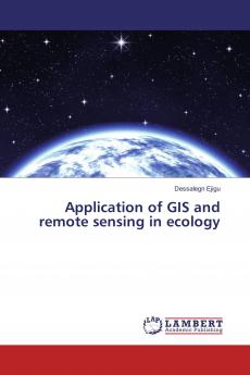
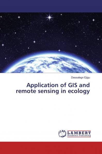
Reliable information and sound assessment methods about the ecosystem enable for identification of indicator species in order to predict changes occurring in the ecosystem. Information about a given ecosystem might be collected both by ground-based and remote sensing methods. Ground-based methods of data acquisition include field observations and gathering in-situ data while data collection using remote sensing is based on the use of image data acquired by sensors of different types. Remote sensing technology is used to collect data on inaccessible sites. This is because remote sensing enables to collect data about the area at a distance without direct contact with the object under investigation. At present there is a need for advanced technologies in different areas such as ecosystem management inventories and assessment of biodiversity environmental monitoring and species-habitat suitability analysis. These technologies should be based on physical parameters of the ecosystem and socio-economic situations of the community. Therefore remote sensing is used to evaluate the health of the ecosystem in general by monitoring the dynamics of the earth’s surface.

Piracy-free

Assured Quality

Secure Transactions

Fast Delivery

Sustainably Printed
Details
ISBN 13
9783659966545
Publication Date
-13-10-2016
Pages
-56
Weight
-86 grams
Dimensions
-150x220x3.48 mm
