This Book is Out of Stock!
English


₹3895
₹4099
4.98% OFF
(All inclusive*)
Paperback
Delivery Options
*COD & Shipping Charges may apply on certain items.
Review final details at checkout.
Looking to place a bulk order? SUBMIT DETAILS
*COD & Shipping Charges may apply on certain items.
Review final details at checkout.
₹3895
₹4099
4% OFF
Paperback
Out Of Stock
All inclusive*
About The Book
Description
Author
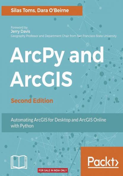
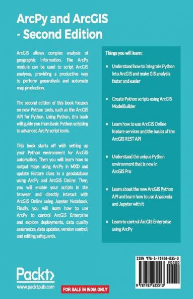
Use Python modules such as ArcPy ArcREST and the ArcGIS API for Python to automate the analysis and mapping of geospatial data. About This Book * Perform GIS analysis faster by automating tasks. * Access the spatial data contained within shapefiles and geodatabases and transform between spatial reference systems. * Automate the mapping of geospatial analyses and production of map books. Who This Book Is For If you are a GIS student or professional who needs an understanding of how to use ArcPy to reduce repetitive tasks and perform analysis faster this book is for you. It is also a valuable book for Python programmers who want to understand how to automate geospatial analyses and implement ArcGIS Online data management. What You Will Learn * Understand how to integrate Python into ArcGIS and make GIS analysis faster and easier. * Create Python script using ArcGIS ModelBuilder. * Learn to use ArcGIS online feature services and the basics of the ArcGIS REST API * Understand the unique Python environment that is new with ArcGIS Pro * Learn about the new ArcGIS Python API and how to use Anaconda and Jupyter with it * Learn to control ArcGIS Enterprise using ArcPy In Detail ArcGIS allows for complex analyses of geographic information. The ArcPy module is used to script these ArcGIS analyses providing a productive way to perform geo-analyses and automate map production. The second edition of the book focuses on new Python tools such as the ArcGIS API for Python. Using Python this book will guide you from basic Python scripting to advanced ArcPy script tools. This book starts off with setting up your Python environment for ArcGIS automation. Then you will learn how to output maps using ArcPy in MXD and update feature class in a geodatabase using arcpy and ArcGIS Online. Next you will be introduced to ArcREST library followed by examples on querying updating and manipulating ArcGIS Online feature services. Further you will be enabling your scripts in the browser and directly interacting with ArcGIS Online using Jupyter notebook. Finally you can learn ways to use of ArcPy to control ArcGIS Enterprise and explore topics on deployments data quality assurances data updates version control and editing safeguards. By the end of the book you will be equipped with the knowledge required to create automated analysis with administration reducing the time-consuming nature of GIS. Style and approach The book takes a pragmatic approach showing ways to automate repetitive tasks and utilizing features of ArcPy with ArcGIS Pro and ArcGIS online.

Piracy-free

Assured Quality

Secure Transactions

Fast Delivery

Sustainably Printed
Details
ISBN 13
9781787282513
Publication Date
-30-06-2017
Pages
-272
Weight
-481 grams
Dimensions
-191x235x14.57 mm
