
English
₹4195
(All inclusive*)
Paperback
Delivery Options
Please enter pincode to check delivery time.
*COD & Shipping Charges may apply on certain items.
Review final details at checkout.
Looking to place a bulk order? SUBMIT DETAILS
Delivery Options
Please enter pincode to check delivery time.
*COD & Shipping Charges may apply on certain items.
Review final details at checkout.
About The Book
Description
Author
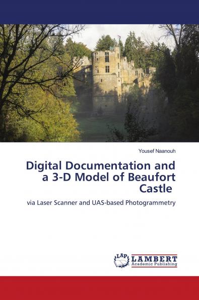
Abstract: Three-dimensional digital technology is important in the maintenance and monitoring of archeological sites. This paper focuses on using a combination of terrestrial laser scanning and unmanned aerial vehicle (Phantom 4 pro) photogrammetry to establish a three-dimensional model and associated digital documentation of Beaufort castle (Arnon South Lebanon). The overall discrepancy between the two technologies was sufficient for the generation of convergent data. Thus the terrestrial laser scanning and phantom 4 photogrammetry data were aligned and merged post-conversion into compatible extensions. A three-D dimensional (3D) model with planar and perpendicular geometries based on the hybrid data- point cloud was developed. This study demonstrates the potential of using the integration of terrestrial laser scanning and photogrammetry in 3D digital documentation and spatial analysis of the Lebanese archeological sites.

Piracy-free

Assured Quality

Secure Transactions

Fast Delivery

Sustainably Printed
Details
ISBN 13
9786204212159
Publication Date
-20-10-2021
Pages
-56
Weight
-86 grams
Dimensions
-150x220x3.48 mm
