English

Paperback
₹3775
(All inclusive*)
Delivery Options
Please enter pincode to check delivery time.
*COD & Shipping Charges may apply on certain items.
Review final details at checkout.
Looking to place a bulk order? SUBMIT DETAILS
Delivery Options
Please enter pincode to check delivery time.
*COD & Shipping Charges may apply on certain items.
Review final details at checkout.
About The Book
Description
Author
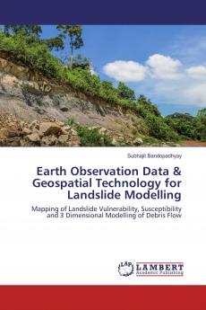
Landslide modeling and its risk analysis is a crucial task for disaster management. It has higher significance in the post-disaster resilience planning and development especially for Himalayan mountainous terrain. In this study earth observation data and advanced geospatial technology were used for landslide susceptibility mapping and subsequent risk analysis from Gourikund to Kedarnath region Rudraprayag District Uttarakhand India. Numerical simulation technique was used to frame out the run-out zone of debris flow through RAMMS (Rapid Mass Movement) modeling.

Piracy-free

Assured Quality

Secure Transactions
Details
ISBN 13
9783659957192
Publication Date
-26-09-2016
Pages
-68
Weight
-101 grams
Dimensions
-150x220x4.09 mm
