English

₹9789
₹11515
14.99% OFF
(All inclusive*)
Paperback
Delivery Options
Please enter pincode to check delivery time.
*COD & Shipping Charges may apply on certain items.
Review final details at checkout.
Looking to place a bulk order? SUBMIT DETAILS
Delivery Options
Please enter pincode to check delivery time.
*COD & Shipping Charges may apply on certain items.
Review final details at checkout.
About The Book
Description
Author
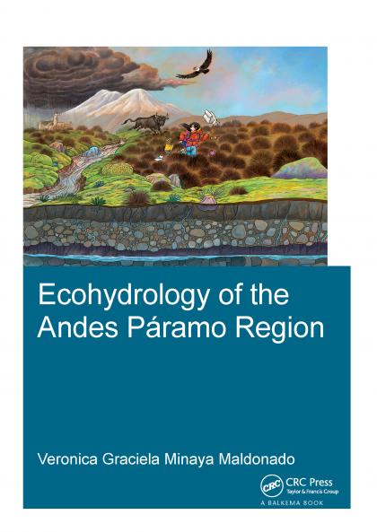
<p>In the Andes mountainous region of South America grasslands known as <i>páramos </i>provide important ecosystem services like sustaining biodiversity securing carbon sequestration and providing water storage. However many <i>páramos </i>regions are subject to land use change due to expanding agriculture intensified grazing and land burning. These are usually caused by socio-economic factors driving local communities to increase their income generation. Trying to achieve a better understanding of the <i>páramos </i>is often restricted to exploring specific details and does not follow an integrated approach or a comprehensive ecosystem analysis. </p><p>In this research the focus is on better understanding the dominant ecohydrological processes and their interactions. An integrated approach is followed using <i>in-situ</i> measurements field experiments laboratory analyses and numerical modelling. Also different hydroinformatics tools are used to identify and quantify the ecosystem services provided by the <i>páramos</i>. Moreover a framework is developed that allows a more realistic quantification and mapping of the main ecosystem services. The approach was carried out for a test site in an Ecological area in North Ecuador. The findings show a clear difference in ecosystem services depending on their altitudinal range and type of vegetation. These results can be used to further develop environmental management and landscape planning strategies in order to better meet the social goals. This research is aligned with the priorities advocated in the IPCC Report (2007) 'to improve representation of the interactive coupling between ecosystems and the climate system' and with SDG #15: Life on Land 'By 2020 ensure the conservation restoration and sustainable use of terrestrial and inland freshwater ecosystems and their services'.</p>

Piracy-free

Assured Quality

Secure Transactions

Fast Delivery

Sustainably Printed
Details
ISBN 13
9781138633124
Publication Date
-01-02-2017
Pages
-230
Weight
-465 grams
Dimensions
-174x246x12.5 mm
