
Paperback
₹5356
(All inclusive*)
Delivery Options
Please enter pincode to check delivery time.
*COD & Shipping Charges may apply on certain items.
Review final details at checkout.
Looking to place a bulk order? SUBMIT DETAILS
Delivery Options
Please enter pincode to check delivery time.
*COD & Shipping Charges may apply on certain items.
Review final details at checkout.
About The Book
Description
Author(s)
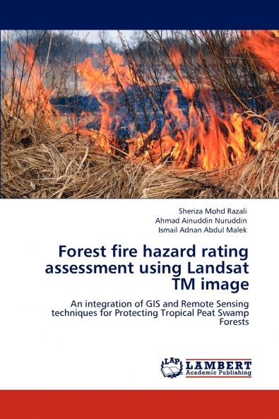
The main factors included in the development of the forest fire hazard rating system in this study are fuel types (based on classifications of land-cover types) and the proximity of forests to roads and canals. These have been identified as the most critical factors contributing to fire as described by many researches. The analysis for this study found the area affected by fire includes a variety of land covers even the agricultural categories. The areas with medium and low slopes (under 40%) were also ranked as medium and low fire hazard respectively. As a conclusion the integration of remote sensing and GIS techniques in this study made it possible to create an effective fire hazard rating model and to develop a detailed fire hazard rating map for the study area. This integration of spatial variables therefore is extremely useful and beneficial for forest fire research.

Piracy-free

Assured Quality

Secure Transactions

Fast Delivery

Sustainably Printed
Details
ISBN 13
9783846505694
Publication Date
-10-10-2011
Pages
-104
Weight
-153 grams
Dimensions
-150x220x5.94 mm
