
English


Paperback
₹3524
₹4451
20.83% OFF
(All inclusive*)
Delivery Options
Please enter pincode to check delivery time.
*COD & Shipping Charges may apply on certain items.
Review final details at checkout.
Looking to place a bulk order? SUBMIT DETAILS

Piracy-free

Assured Quality

Secure Transactions
About The Book
Description
Author
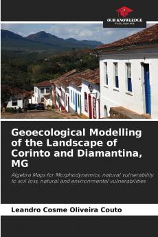
The landscape at the contact between the Rio das Velhas plain and the Serra do Espinhaço Meridional in Minas Gerais (Brazil) is covered by the topographic maps of Corinto and Diamantina integrated into the systematic mapping of Brazilian territory. This area boasts geological diversity accompanied by significant geomorphological and phytogeographical variations. It is therefore a spatial sample whose location is of interest to geographers interested in studying the environment. Based on the concepts of landscape and geosystems instrumentalised through the use of three transects three different geoecological models were applied using map algebra: morphodynamics natural vulnerability to soil loss and natural and environmental vulnerabilities. From west to east from the municipality of Corinto to Diamantina four different geosystems emerge the last of which is made up of three geofacies with specific geoecological behaviours that confirm the geosystem's spatial differentiation.
Piracy-free
Assured Quality
Secure Transactions
Delivery Options
Please enter pincode to check delivery time.
*COD & Shipping Charges may apply on certain items.
Review final details at checkout.
Details
ISBN 13
9786203290585
Publication Date
-06-02-2025
Pages
-112
Weight
-163 grams
Dimensions
-152x229x6.78 mm
