

English


Paperback
₹9543
(All inclusive*)
Delivery Options
Please enter pincode to check delivery time.
*COD & Shipping Charges may apply on certain items.
Review final details at checkout.
Looking to place a bulk order? SUBMIT DETAILS

Piracy-free

Assured Quality

Secure Transactions
About The Book
Description
Author
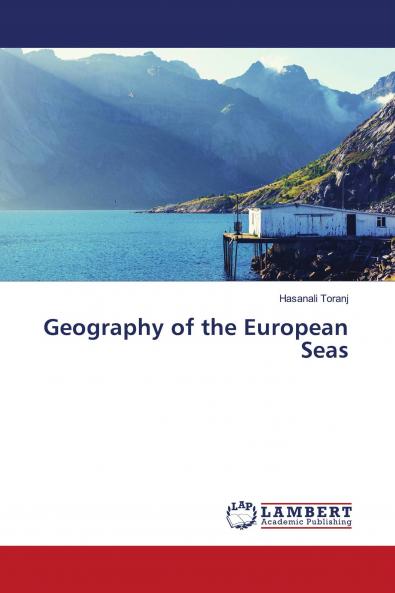
The European Atlas of the Seas is an innovative application which has been designed for anyone wanting to learn more about Europe’s seas and coastal regions and about the people who live and work along Europe’s coasts. By May 2018 it is now in the fourth edition stage. It offers an up-to-date and diverse range of information about Europe''s seas such as sea depth underwater features coastal regions geography and statistics blue energies maritime resources tide amplitude coastal erosion fishing stocks quotas and catches European fishing fleet aquaculture maritime transport and traffic ports'' statistics maritime protected areas tourism maritime policies and initiatives outermost regions etc.
Piracy-free
Assured Quality
Secure Transactions
Delivery Options
Please enter pincode to check delivery time.
*COD & Shipping Charges may apply on certain items.
Review final details at checkout.
Details
ISBN 13
9786204986333
Publication Date
-28-07-2022
Pages
-428
Weight
-547 grams
Dimensions
-150x220x22.59 mm
