

English


Paperback
₹8511
₹11235
24.25% OFF
(All inclusive*)
Delivery Options
Please enter pincode to check delivery time.
*COD & Shipping Charges may apply on certain items.
Review final details at checkout.
Looking to place a bulk order? SUBMIT DETAILS
Delivery Options
Please enter pincode to check delivery time.
*COD & Shipping Charges may apply on certain items.
Review final details at checkout.
About The Book
Description
Author(s)
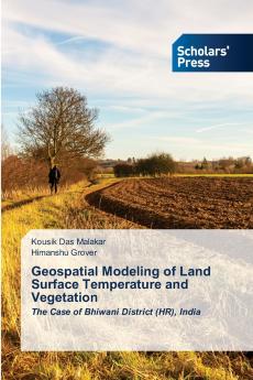
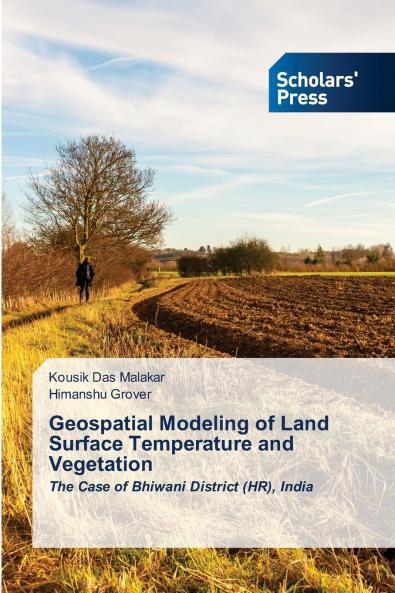
This book explores the geospatial modeling of Land Surface Temperature (LST) and vegetation conditions in Bhiwani District Haryana India using advanced GIScience techniques. Leveraging LANDSAT satellite data it provides a comprehensive spatiotemporal analysis of LST and vegetation indices including NDVI (Normalized Difference Vegetation Index) VCI (Vegetation Condition Index) and SMI (Soil Moisture Index). The study focuses on mapping temperature variations and vegetation health offering insights into climate patterns agricultural productivity and environmental sustainability. Additionally it investigates the relationship between LST and vegetation indices highlighting the impacts of land cover dynamics. Furthermore the book offers strategic recommendations for afforestation initiatives sustainable water management urban planning and climate adaptation emphasizing their role in effective environmental management and sustainable development. This book serves as a valuable resource for researchers policymakers and environmental planners emphasizing the role of GIScience in climate monitoring land management and sustainable development.

Piracy-free

Assured Quality

Secure Transactions

Fast Delivery

Sustainably Printed
Details
ISBN 13
9783659842771
Publication Date
-07-04-2025
Pages
-112
Weight
-163 grams
Dimensions
-152x229x6.78 mm
