

English


₹5878
(All inclusive*)
Paperback
Delivery Options
Please enter pincode to check delivery time.
*COD & Shipping Charges may apply on certain items.
Review final details at checkout.
Looking to place a bulk order? SUBMIT DETAILS
Delivery Options
Please enter pincode to check delivery time.
*COD & Shipping Charges may apply on certain items.
Review final details at checkout.
About The Book
Description
Author
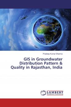
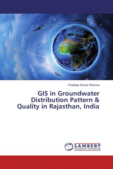
The book describes the role of Geographical Information System and Remote Sensing in modeling the groundwater distribution pattern and quality in the state of Rajasthan in India. Groundwater table map of various time series (pre and post monsoon) rainfall maps and fluctuating patterns have been generated using the groundwater level data of pre and post monsoon seasons and daily rainfall datasets of Rajasthan. Further the OCEANSAT – 2 OCM satellite data has been used for generating the Normalized Difference Vegetation Index maps. Groundwater quality maps (WQI maps) of Rajasthan have been generated using groundwater chemical data of the state. The WQI maps indicated that the groundwater quality decreases from the South-East to the North-West of the state. The safest zone is in the South-Eastern part of the study area. Various Geo-statistical techniques have been applied in generating all these maps.

Piracy-free

Assured Quality

Secure Transactions

Fast Delivery

Sustainably Printed
Details
ISBN 13
9786137329207
Publication Date
-29-01-2018
Pages
-140
Weight
-191 grams
Dimensions
-150x220x7.79 mm
