

English


Paperback
₹224
₹299
25.08% OFF
(All inclusive*)
Delivery Options
Please enter pincode to check delivery time.
*COD & Shipping Charges may apply on certain items.
Review final details at checkout.
Looking to place a bulk order? SUBMIT DETAILS

Piracy-free

Assured Quality

Secure Transactions
About The Book
Description
Author
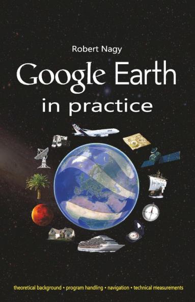
By the help of this book besides Google Earth?s user level handling we can acquire its professional level usage furthermore we discuss the program features also according to age. We utilize many fields of science but we always examine these in relation to Google earth and other planning tools with map in keywords: ?Theoretical background of data and parameters visible in Google Earth ?Making of complex technical drawings ?Google Earth astronomy module ?Related online map applications ?Related handheld measurement and navigation tools In the book?s second part we discuss Google Earth usage in the next industries: electrical power engineering telecommunications news broadcasting disaster recovery police forces expeditions ambulance fire service flying sailing railway transportation hydrographic offices television national defence astronomy forestry archaeology geography- and history education. The program's user interface has hardly changed since its first publication in 2001 satellite picture update and new functions appearance were rather typical furthermore its operation is based on theoretical professional background which has been uniform for centuries. Therefore it is likely that this book remains useable and provides the reader with up-to-date information decades after its publication.
Piracy-free
Assured Quality
Secure Transactions
Delivery Options
Please enter pincode to check delivery time.
*COD & Shipping Charges may apply on certain items.
Review final details at checkout.
Details
ISBN 13
9789388573849
Publication Date
-01-01-2019
Pages
-166
Weight
-204 grams
Dimensions
-140x216x9.5 mm
