English

Paperback
₹3655
₹3847
4.99% OFF
(All inclusive*)
Delivery Options
Please enter pincode to check delivery time.
*COD & Shipping Charges may apply on certain items.
Review final details at checkout.
Looking to place a bulk order? SUBMIT DETAILS
Delivery Options
Please enter pincode to check delivery time.
*COD & Shipping Charges may apply on certain items.
Review final details at checkout.
About The Book
Description
Author
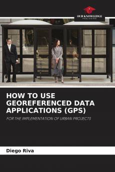
Two investigations that exemplify in a simple way new ways of linking geo-referenced data with public domain applications to obtain process survey and model urban intervention projects in medium-sized cities (e.g. Tandil and Rauch in Argentina). One of the researches relies on georeferencing technology to optimize the installation of public transport shelters. The other one proposes the use of a georeferencing location application for the development of audio guides oriented to promote the built heritage.

Piracy-free

Assured Quality

Secure Transactions

Fast Delivery

Sustainably Printed
Details
ISBN 13
9786205696125
Publication Date
-13-03-2023
Pages
-60
Weight
-95 grams
Dimensions
-150x220x3.68 mm
