
This Book is Out of Stock!
by
DK
English

Paperback
₹599
(All inclusive*)
Delivery Options
*COD & Shipping Charges may apply on certain items.
Review final details at checkout.
Looking to place a bulk order? SUBMIT DETAILS
*COD & Shipping Charges may apply on certain items.
Review final details at checkout.
₹599
Out Of Stock
All inclusive*
About The Book
Description
Author
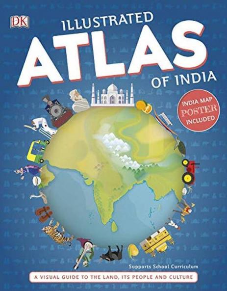
A unique state-by-state atlas that amalgamates geography with culture art and history.Highly illustrated detailed maps giving an overview of the state highlighting its physical and geographical features.Dedicated feature spreads that explain essential subjects such as the climate of the country Indian history religion etc. City in focus spreads give an overview of eight leading metropolitan cities. Bring geography to life and explore India like never before with the Illustrated Atlas of India. Featuring more than 50 illustrated maps this book expands the horizons of an atlas and taps into the essence of each state its culture history and people. A special highlight includes spreads on India’s leading metropolitan cities getting into their heart and soul. With more than 300 stunning illustrations and images this book is a visual delight makes geography fun and is a great addition to every child’s library.

Piracy-free

Assured Quality

Secure Transactions

Fast Delivery

Sustainably Printed
Details
ISBN 13
9780241356913
Publication Date
-13-09-2019
Pages
-180
Weight
-132 grams
Dimensions
-129x197x11.13 mm
