


This Book is Out of Stock!
English


Paperback
₹766
₹1797
57% OFF
(All inclusive*)
Notify me when the book is back in stock
Delivery Options
*COD & Shipping Charges may apply on certain items.
Review final details at checkout.
Looking to place a bulk order? SUBMIT DETAILS

Piracy-free

Assured Quality

Secure Transactions

Fast Delivery

Sustainably Printed
About The Book
Description
Author
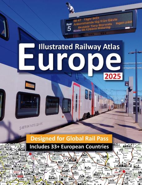
Interrail/Eurail Icon Illustrated Railway Atlas - Global Pass Edition is an illustrated Railway Atlas. The simplified Railway Network Map includes Icons Info and photographs to enable you to make the very most of your time in Europe and get very most benefit from your RailPass. Atlas covers all 33 European counties included in Eurail/Interrail Global Rail Pass plus Moldova Albania and North African and all the major Mediterranean Scandinavian Irish and UK ferry routes. .Planning an epic Interrai
Piracy-free
Assured Quality
Secure Transactions
Fast Delivery
Sustainably Printed
*COD & Shipping Charges may apply on certain items.
Review final details at checkout.
₹766
₹1797
57% OFF
Paperback
Out Of Stock
All inclusive*
Notify me when the book is back in stock
Details
ISBN 13
9781911165743
Publication Date
-09-03-2025
Pages
-54
Weight
-153 grams
Dimensions
-216x280x3.56 mm

Details
ISBN 13
:
9781911165743
Publication Date
:
09-03-2025
Pages
:
54
Weight
:
153 grams
Dimensions
:
216x280x3.56 mm
Publisher
Ratings & Reviews

No reviews added yet.