
English
₹5974
(All inclusive*)
Paperback
Delivery Options
Please enter pincode to check delivery time.
*COD & Shipping Charges may apply on certain items.
Review final details at checkout.
Looking to place a bulk order? SUBMIT DETAILS
Delivery Options
Please enter pincode to check delivery time.
*COD & Shipping Charges may apply on certain items.
Review final details at checkout.
About The Book
Description
Author
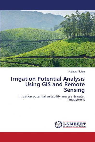
In today's world as we see the rapid population growth irrigation agriculture becomes more important to meet the human needs. It allows double cropping and enables stabilization of supply and production of vegetables and fruits. Land and water resource suitability analysis plays an important role in maintaining and developing land and water use on a spatial basis of agriculture.This book identified the evaluation of land suitability for irrigation intensification. The aim of this study was to analyze the water and land resources potential and irrigation water management in river catchments of Andasa watershed for irrigation suitability by using Geographic Information System (GIS) and remote sensing. Identification of potential irrigable land and socioeconomic factors that influence the use of surface irrigation water management were followed to analyze this irrigation potential. Analytic Hierarchy Process (AHP) evaluation method was used to evaluate the physical land characteristics of the study area for surface irrigation. The factors that were considered for evaluations of the land for surface irrigation include: slope land use land cover river distance soil.

Piracy-free

Assured Quality

Secure Transactions

Fast Delivery

Sustainably Printed
Details
ISBN 13
9783659490064
Publication Date
-27-12-2013
Pages
-112
Weight
-163 grams
Dimensions
-150x220x6.35 mm
