

English


₹5878
(All inclusive*)
Paperback
Delivery Options
Please enter pincode to check delivery time.
*COD & Shipping Charges may apply on certain items.
Review final details at checkout.
Looking to place a bulk order? SUBMIT DETAILS
Delivery Options
Please enter pincode to check delivery time.
*COD & Shipping Charges may apply on certain items.
Review final details at checkout.
About The Book
Description
Author
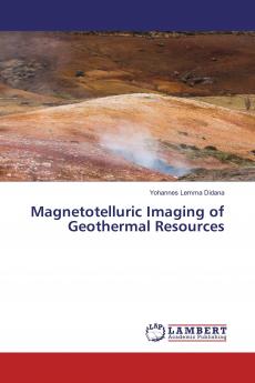
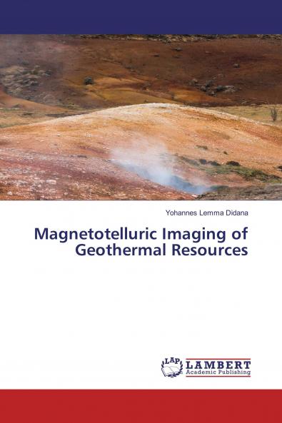
Electromagnetic (EM) methods are frequently used in the exploration of geothermal resources for determining the spatial distribution of electrical conductivity. Of the various EM methods magnetotelluric (MT) method was found to be the most effective in defining a conductive reservoir at a depth exceeding 1 km overlain by a larger and more conductive clay cap. Krýsuvík is one of the high temperature geothermal areas on Reykjanes peninsula in south west Iceland. Krýsuvík lies in a NE-SW elongated valley within the active volcanic zone which is characterized by fissure swarms striking NE-SW. Surface manifestations of the Krýsuvík geothermal system are marked by a high intensity clay alteration zone boiling springs warm springs mud pools warm soil hydrothermal explosion craters and mineralized water in Graenavatn Lake.

Piracy-free

Assured Quality

Secure Transactions

Fast Delivery

Sustainably Printed
Details
ISBN 13
9783330024885
Publication Date
-20-12-2016
Pages
-140
Weight
-191 grams
Dimensions
-150x220x7.79 mm
