
English

Paperback
₹3373
(All inclusive*)
Delivery Options
Please enter pincode to check delivery time.
*COD & Shipping Charges may apply on certain items.
Review final details at checkout.
Looking to place a bulk order? SUBMIT DETAILS
Delivery Options
Please enter pincode to check delivery time.
*COD & Shipping Charges may apply on certain items.
Review final details at checkout.
About The Book
Description
Author(s)
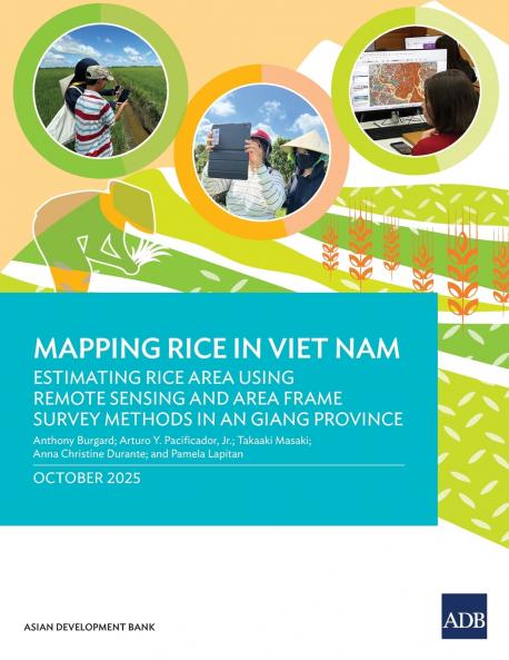
<p>This publication sets out a reproducible methodology that combines remote sensing and area frame survey methods in An Giang Viet Nam with probability-based ground surveys to generate an accurate rice area map validated against official statistics. </p><p></p><p>The framework provides a scalable model to help national statistical offices and agricultural data producers across Asia and the Pacific improve the accuracy reliability and efficiency of crop monitoring. It is hoped that this work will advance the use of satellite-based methodologies for agricultural statistics-enhancing the timeliness cost-effectiveness and precision of crop area estimation-and contribute to strengthening evidence-based decision-making and sustainable agricultural development.</p>

Piracy-free

Assured Quality

Secure Transactions

Fast Delivery

Sustainably Printed
Details
ISBN 13
9789292774707
Publication Date
-20-10-2025
Pages
-50
Weight
-144 grams
Dimensions
-216x280x3.45 mm
