English

₹2860
(All inclusive*)
Paperback
Delivery Options
Please enter pincode to check delivery time.
*COD & Shipping Charges may apply on certain items.
Review final details at checkout.
Looking to place a bulk order? SUBMIT DETAILS
Delivery Options
Please enter pincode to check delivery time.
*COD & Shipping Charges may apply on certain items.
Review final details at checkout.
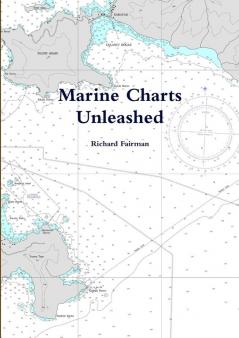
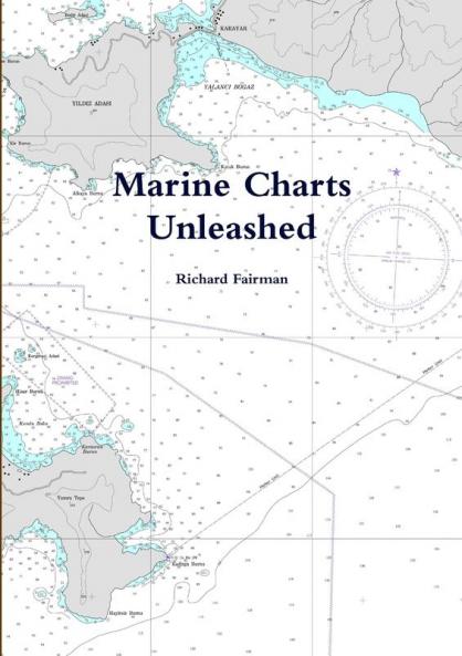
About The Book
Description
Author
Access to or create fully calibrated Digital Marine Charts for all areas of the world We gaurantee that wherever you are in the world you can have your own Digital Marine Chart. The Digital Marine Charts you can access or create for your own use Compatible with computer based chartplotters including SeaClear OpenCPN Polar Navy Coastal Explorer Fugawi Ozie Explorer and many others Access many thousand of chart images including US Waters Worldwide NZ Brazil etc. Create your own Satellite Image Charts. Create calibrated charts from your own paper charts for your own use Your first Marine Chart will already save you the price of this book The book incudes free Chartplotter Comparison Guide

Piracy-free

Assured Quality

Secure Transactions

Fast Delivery

Sustainably Printed
Details
ISBN 13
9781471021558
Publication Date
-06-02-2012
Pages
-124
Weight
-321 grams
Dimensions
-210x297x6.69 mm
