


This Book is Out of Stock!
English


₹4863
(All inclusive*)
Paperback
Delivery Options
*COD & Shipping Charges may apply on certain items.
Review final details at checkout.
Looking to place a bulk order? SUBMIT DETAILS
*COD & Shipping Charges may apply on certain items.
Review final details at checkout.
₹4863
Out Of Stock
All inclusive*
About The Book
Description
Author(s)
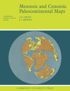
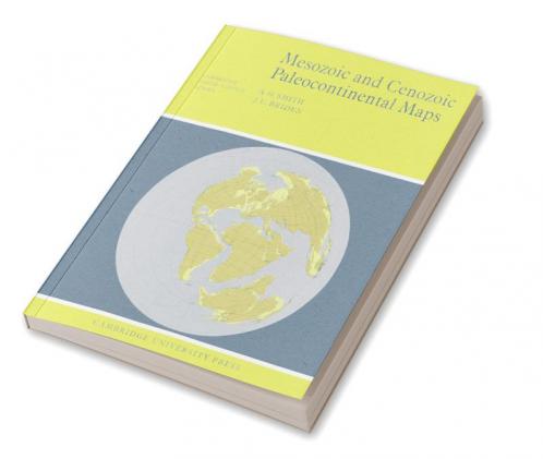
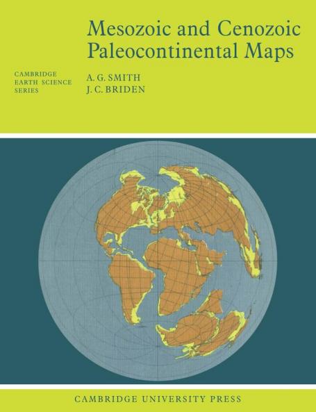
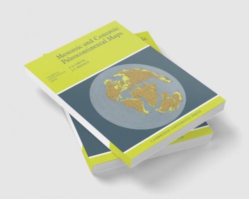
First published in 1977 this book shows the positions of the major continental areas during the past 220 million years as four series of computer-drawn maps. The maps have been drawn for the present day 10 and 20 million years ago then at 20-million-year intervals back to 220 million years. All the maps are based on quantitative geophysical or topographic information: paleomagnetic pole positions ocean floor magnetic anomalies and best fits of the continental margins. Mercator north polar and south polar sterographic and Lambert equal-area maps of each selected time interval are provided. Many interesting problems in the Earth Sciences are global; they need to be seen in a proper global setting. The maps provide such a framework on which a very wide range of geological information may be plotted. Problems in fields as widely separated as palenontology stratigraphy geochemistry and tectonics may usefully be displayed on these maps.

Piracy-free

Assured Quality

Secure Transactions

Fast Delivery

Sustainably Printed
Details
ISBN 13
9780521291170
Publication Date
-06-09-1977
Pages
-64
Weight
-135 grams
Dimensions
-188.98x246.13x4.03 mm
