English

Paperback
₹7560
(All inclusive*)
Delivery Options
Please enter pincode to check delivery time.
*COD & Shipping Charges may apply on certain items.
Review final details at checkout.
Looking to place a bulk order? SUBMIT DETAILS
Delivery Options
Please enter pincode to check delivery time.
*COD & Shipping Charges may apply on certain items.
Review final details at checkout.
About The Book
Description
Author
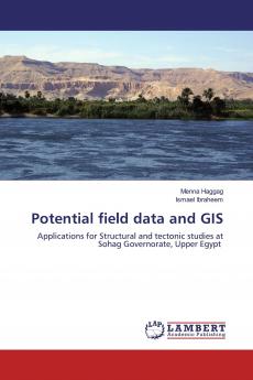
This book concerns with the use of a combination of potential field methods and GIS technique for developmental purposes in Sohag governorate Upper Egypt through the imaging of the surface and subsurface structural settings. Several advanced techniques such as filtering 2D and 3D modeling Euler deconvolution and edge detectors were applied. The integration of these techniques provided us with invaluable information about the subsurface structure thickness of the sedimentary cover as well as the most promising locations of gas and petroleum in the investigated area. In addition this book introduces information and new gravity and magnetic techniques for researchers working in the fields of geophysics structural geology and petroleum exploration.

Piracy-free

Assured Quality

Secure Transactions
Details
ISBN 13
9786139453825
Publication Date
-07-03-2019
Pages
-188
Weight
-250 grams
Dimensions
-150x220x10.26 mm
