English


₹1774
(All inclusive*)
Paperback
Delivery Options
Please enter pincode to check delivery time.
*COD & Shipping Charges may apply on certain items.
Review final details at checkout.
Looking to place a bulk order? SUBMIT DETAILS
Delivery Options
Please enter pincode to check delivery time.
*COD & Shipping Charges may apply on certain items.
Review final details at checkout.
About The Book
Description
Author
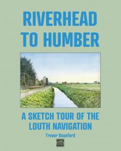
<p><span style=color: rgba(0 0 0 1)>A collection of line and wash and gouache illustrations of views along the Louth Navigation with historic mapping and brief descriptions.</span></p><p></p><p><span style=color: rgba(0 0 0 1)>Opened in 1770 as a commercial route linking inland Louth with the Humber Estuary and from there with other ports along inland waterways and with coastal&nbsp;routes and beyond the Louth Navigation now serves&nbsp;as a leisure route for canoeists sailboarders and&nbsp;for walkers. The eleven miles or so of towpath&nbsp;through open countryside affords glorious views to the Linconshire Wolds and across the marshes to the 'German Ocean' (now North Sea).</span></p><p></p><p><span style=color: rgba(0 0 0 1)>The seventeen images in this book with supporting&nbsp;commentary illustrate key aspects of the Louth Navigation.</span></p>

Piracy-free

Assured Quality

Secure Transactions

Fast Delivery

Sustainably Printed
Details
ISBN 13
9780993378195
Publication Date
-20-11-2025
Pages
-42
Weight
-107 grams
Dimensions
-203x254x2.77 mm
