


English


Paperback
₹3909
(All inclusive*)
Delivery Options
Please enter pincode to check delivery time.
*COD & Shipping Charges may apply on certain items.
Review final details at checkout.
Looking to place a bulk order? SUBMIT DETAILS

Piracy-free

Assured Quality

Secure Transactions
About The Book
Description
Author
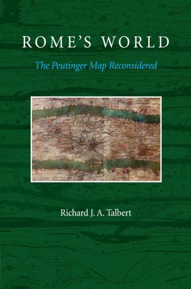
The Peutinger Map Is The Only Map Of The Roman World To Come Down To Us From Antiquity. An Elongated Masterpiece Full Of Colorful Detail And Featuring Land Routes Across Europe North Africa And The Near East It Was Rediscovered Mysteriously Around 1500 And Then Came Into The Ownership Of Konrad Peutinger For Whom It Is Named. Today It Is Among The Treasures Of The Austrian National Library In Vienna. Richard TalbertS Study Presented In RomeS World: The Peutinger Map Reconsidered Offers A Long-Overdue Reinterpretation And Appreciation Of The Map As A Masterpiece Of Both Mapmaking And Imperial Roman Ideology. Here The Ancient WorldS Traditional Span From The Atlantic To India Is Dramatically Remolded; Lands And Routes Take Pride Of Place Whereas Seas Are Compressed. Talbert Posits That The MapS True Purpose Was Not To Assist Travelers Along RomeS Highways But Rather To Celebrate The Restoration Of Peace And Order By DiocletianS Tetrarchy. Such Creative Cartography He Shows Influenced The Development Of Medieval Mapmaking. With The Aid Of An Interactive Database This Book Enables Readers To Engage With The Peutinger Map In All Of Its Fascinating Immensity More Closely Than Ever Before.
Piracy-free
Assured Quality
Secure Transactions
Delivery Options
Please enter pincode to check delivery time.
*COD & Shipping Charges may apply on certain items.
Review final details at checkout.
Details
ISBN 13
9781107685758
Publication Date
-14-08-2014
Pages
-376
Weight
-662 grams
Dimensions
-178.02x254.03x19.92 mm
