

English


₹5772
(All inclusive*)
Paperback
Delivery Options
Please enter pincode to check delivery time.
*COD & Shipping Charges may apply on certain items.
Review final details at checkout.
Looking to place a bulk order? SUBMIT DETAILS
Delivery Options
Please enter pincode to check delivery time.
*COD & Shipping Charges may apply on certain items.
Review final details at checkout.
About The Book
Description
Author
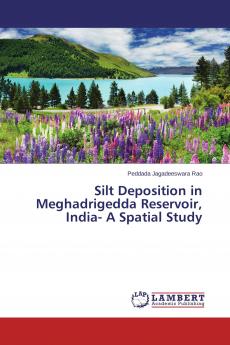
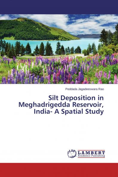
Reservoirs are the major water storage artificial lakes experiences silt/sediment deposition owing to severe anthropogenic activities. Erosion of earth materials is intensifying in the upstream catchment leading to reduction of storage capacity. This situation is more severe in the countries where forest cover is low. In the present study Remote Sensing and GIS tools used to identify erosion prone zones in the catchment area which in turn silt/sediment deposition. This work was carried out to quantify how much silt/sediment deposited in Meghadrigedda reservoir Visakhapatnam India is presented. In each chapter the state-of-the-art technology has been used. In five chapters the importance of study with different objectives has been introduced. Thematic maps generated using satellite and other data products. Drainage is an important parameter in carving out the landscape is discussed. GIS analysis was carried out to identify soil erosion zones and silt deposition was assessed using SYI technique.

Piracy-free

Assured Quality

Secure Transactions

Fast Delivery

Sustainably Printed
Details
ISBN 13
9783659575730
Publication Date
-12-10-2015
Pages
-124
Weight
-179 grams
Dimensions
-150x220x6.97 mm
