
English
Paperback
₹5356
(All inclusive*)
Delivery Options
Please enter pincode to check delivery time.
*COD & Shipping Charges may apply on certain items.
Review final details at checkout.
Looking to place a bulk order? SUBMIT DETAILS
Delivery Options
Please enter pincode to check delivery time.
*COD & Shipping Charges may apply on certain items.
Review final details at checkout.
About The Book
Description
Author(s)
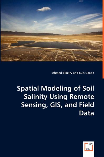
The environmental damage that salinity can cause is massive. In its early stages soil salinization reduces soil productivity but in advanced stages salinization kills all vegetation and transforms fertile and productive land to barren waste. Remote sensing data has great potential for monitoring dynamic processes including salinization. Any integration of field data GIS and remote sensing is considered weak unless some strong statistical measures are introduced. This study has shown the benefit of using satellite images in generating accurate soil salinity maps. Corn and alfalfa crops were selected as indicators of soil salinity. Five images were acquired from Aster Ikonos and Landsat to check the correlation between measured soil salinity and remote sensing data. Observed data was used in conjunction with satellite images. Three models were applied to predict soil salinity from remote sensing: the ordinary least squares model (OLS) spatial autoregressive model (SAR) and modified kriging model. This study has demonstrated a more efficient and accurate way of estimating soil salinity from remote sensing data that should help the efforts toward sustainable agriculture.

Piracy-free

Assured Quality

Secure Transactions

Fast Delivery

Sustainably Printed
Details
ISBN 13
9783639065978
Publication Date
-04-08-2008
Pages
-112
Weight
-163 grams
Dimensions
-150x220x6.35 mm
