English
Paperback
₹1779
₹2161
17.68% OFF
(All inclusive*)
Delivery Options
Please enter pincode to check delivery time.
*COD & Shipping Charges may apply on certain items.
Review final details at checkout.
Looking to place a bulk order? SUBMIT DETAILS
Delivery Options
Please enter pincode to check delivery time.
*COD & Shipping Charges may apply on certain items.
Review final details at checkout.
About The Book
Description
Author
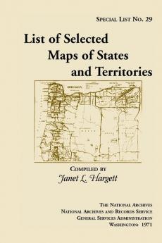
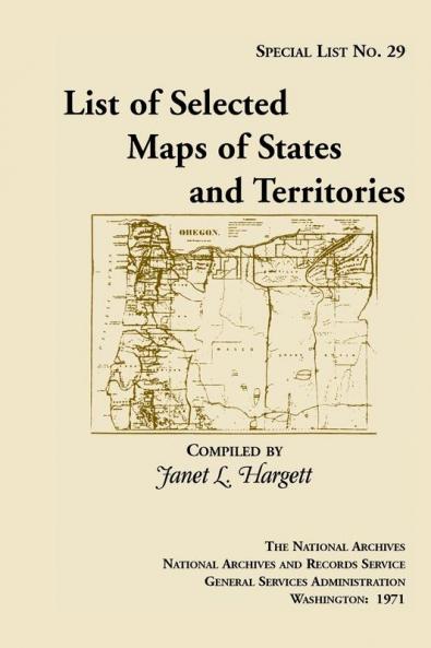
This long out of print finding aid to the collection of approximately 900 maps selected from the holdings of the Cartographic Archives Division of the National Archives. The maps date from the late 18th century to 1920. The list is intended generally for researchers who are seeking general maps of the States and Territories. For example: Entry 256: Map of Indiana and Illinois Territories compiled from the best authorities for Governor Edwards of the Illinois Territory by R. Paul 1815. Copy by James Kearney. Scale not indicated. 19 x 23 1/2. Manuscript. Indian villages rivers military posts towns and General Scott and Governor Edwards traces. Filed as RG 77: US 33-2.

Piracy-free

Assured Quality

Secure Transactions

Fast Delivery

Sustainably Printed
Details
ISBN 13
9781888265163
Publication Date
-01-04-2013
Pages
-124
Weight
-179 grams
Dimensions
-152x229x6.69 mm
