


English


₹262
₹398
34.17% OFF
(All inclusive*)
Paperback
Delivery Options
Please enter pincode to check delivery time.
*COD & Shipping Charges may apply on certain items.
Review final details at checkout.
Looking to place a bulk order? SUBMIT DETAILS
Delivery Options
Please enter pincode to check delivery time.
*COD & Shipping Charges may apply on certain items.
Review final details at checkout.
About The Book
Description
Author
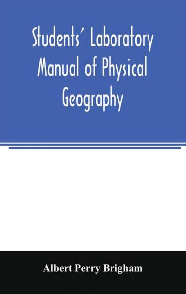
Explore how mountains and plateaus shape our world through hands-on map work and clear explanations. This physical geography guide combines stepped exercises field-style observations and map analysis to reveal how land forms drainage and climate interact across North America. With concrete tasks that connect illustrations profiles and cross-sections you’ll practice thinking like a geographer while building practical map-reading skills.The book focuses on major landforms and regions including the Colorado Plateau the Great Basin Adirondack and Appalachian folds and the Rocky Mountains. It uses real-world exercises to show how ridges faults and plateaus develop and how to interpret relief with contour lines profiles and geologic sections. Expect guidance on comparing regions tracing drainage patterns and understanding how landscapes evolve over time.- Learn to read and compare cross-sections and profiles with field-style prompts and map-based questions.- Examine how faults shape block mountains and how uplift alters slope and drainage.- Use contoured maps and selected figures to study mountains plateaus canyons and basins.- Explore climate and drainage connections to landforms and erosion with practical site-based thinking.Ideal for students studying physical geography teachers coordinating map-based labs and readers who enjoy exploratory hands-on map work.

Piracy-free

Assured Quality

Secure Transactions

Fast Delivery

Sustainably Printed
Details
ISBN 13
9789354006142
Publication Date
-16-03-2020
Pages
-164
Weight
-201 grams
Dimensions
-139.7x215.9x9.39 mm
