
This Book is Out of Stock!
English


Paperback
₹3909
(All inclusive*)
Delivery Options
*COD & Shipping Charges may apply on certain items.
Review final details at checkout.
Looking to place a bulk order? SUBMIT DETAILS
*COD & Shipping Charges may apply on certain items.
Review final details at checkout.
₹3909
Out Of Stock
All inclusive*
About The Book
Description
Author(s)
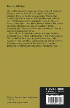
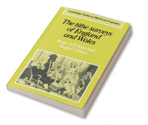
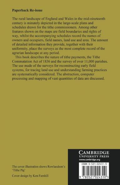
The rural landscape of England and Wales in the mid-nineteenth century is minutely depicted in the large-scale plans and schedules drawn for the Tithe Commissioners. Among other features shown on the maps are field boundaries and rights of way whilst the accompanying schedules record the names of owners and occupiers field names land use and area. The amount of detailed information they provide together with their uniformity place the surveys as the most complete record of the agrarian landscape at any period. This book describes the nature of tithe payments the Tithe Commutation Act of 1836 and the survey of over 11000 parishes. The uses made of the surveys for reconstructing early field systems for tracing land use and understanding farming practices are systematically considered The abstraction computer processing and mapping of vast quantities of data are discussed.

Piracy-free

Assured Quality

Secure Transactions

Fast Delivery

Sustainably Printed
Details
ISBN 13
9780521024310
Publication Date
-20-04-2006
Pages
-344
Weight
-467 grams
Dimensions
-152.4x228.6x19.05 mm
