English
Hardback
₹3891
₹5100
23.71% OFF
(All inclusive*)
Delivery Options
Please enter pincode to check delivery time.
*COD & Shipping Charges may apply on certain items.
Review final details at checkout.
Looking to place a bulk order? SUBMIT DETAILS

Piracy-free

Assured Quality

Secure Transactions
About The Book
Description
Author(s)
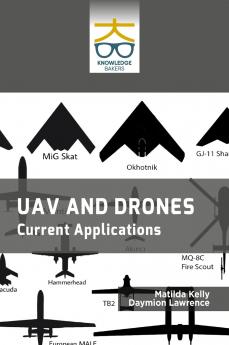
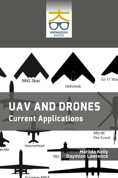
<p>•Drones are widely used for a range of purposes including military operations aerial photography and videography surveying and agriculture among others. </p><p>•It examines the use of small to medium UAVs for various civilian applications in Indonesia including mapping surveillance and monitoring. </p><p>•It focuses on the development of a prototype drone equipped with smart Arduino sensors for measuring weather indices and also describes the design and development process of the drone as well as the testing and validation of the sensor data.</p><p>•It explores the use of UAVs by urban search and rescue groups for disaster response and emergency management and discusses the benefits and limitations of using UAVs in these contexts as well as the challenges associated with integrating UAV technology.</p><p>•It describes the use of UAV low-altitude remote sensing technology and transfer learning for land use information quick mapping and also focuses on the development of a UAV-based land use mapping system and demonstrate its effectiveness through field experiments.</p><p>•This book will be beneficial to professionals researchers and academicians and moreover to inspire the younger generations into pursuing relevant academic studies and professional careers within the drone industry.</p>
Piracy-free
Assured Quality
Secure Transactions
Delivery Options
Please enter pincode to check delivery time.
*COD & Shipping Charges may apply on certain items.
Review final details at checkout.
Details
ISBN 13
9789390013159
Publication Date
-01-01-2024
Pages
-162
Weight
-411 grams
Dimensions
-178x254x11.11 mm
